windscape
[R PACKAGE; WEB APP] An R package for modeling wind dispersal landscapes.

I work a lot with wind data as part of my research exploring how biodiversity is shaped by the effects of global wind patterns on the dispersal of seeds, pollen, and spores between sites. windscape is an R package I have developed that provides a set of tools for conducting analyses like these. It includes functions to help you download wind data, model wind connectivity times across a landscape, visualize the results, and test statistical relationships between wind and ecological data.
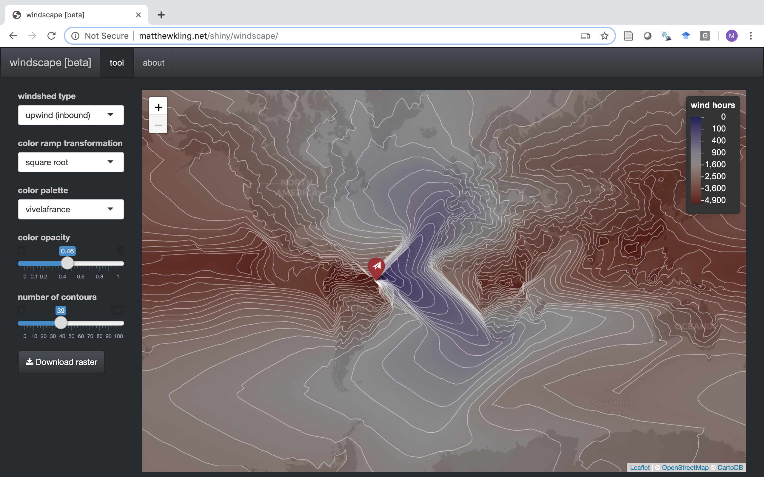
This R package also underlies the WINDSCAPE web app, a little interactive web tool I built that models and visualizes the wind dispersal landscape, or windscape, for any location on earth. You just click the map to select a site, choose between “inbound” (upwind) or “outbound” (downwind) dispersal, and voila: a global map of relative accessibility by wind. The image below shows a screenshot from the app: